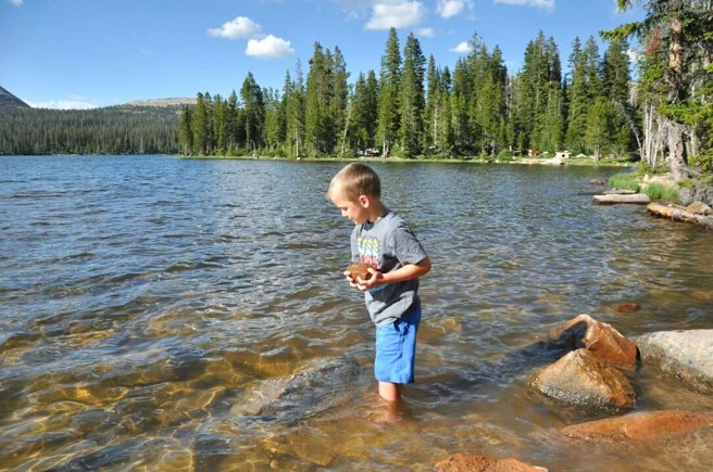
Davis County Utah has so many trails that we haven’t even visited them all yet! One of the most well known trails is Adams Canyon Waterfall, but there are so many more. Hopefully you’ll find some on this list you haven’t tried just yet. Here are 12 of our favorites in the Davis County, UT area. Stay tuned for Part 2 for even more trails, I didn’t want to put them all on one post, there are just too many!!
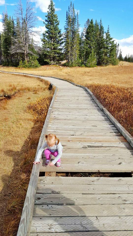
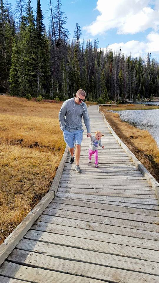
Farmington Canyon Trail/ Farmington Creek Trail/ Sunset Trail/ Farmington Waterfall Hike
Little Mountaineers Rating: Moderate (3.2 mile round trip, the trails climbs up and descends down multiple times, some drop offs and steep areas)
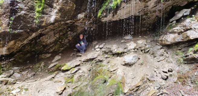
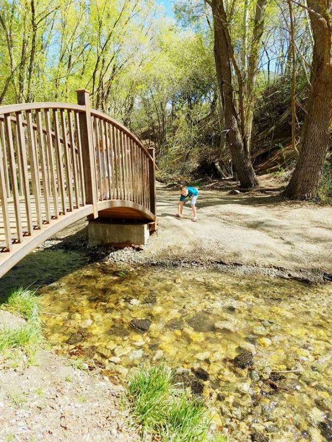
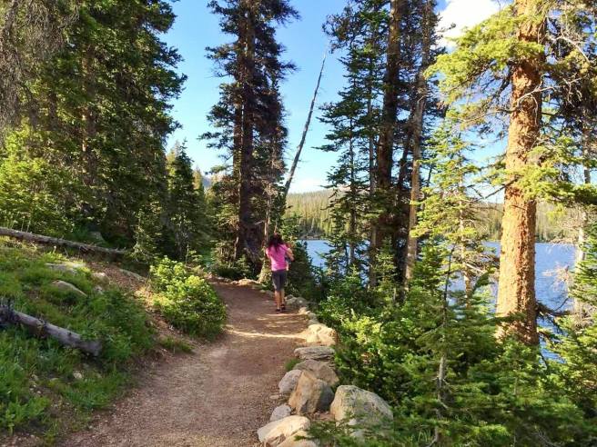
This trail seems to go by a few different names. It is famous for it’s 2 waterfalls and several old deteriorating cars along the trail. With great veiws of the canyon and valley, creek crossings, colorful leaves in the fall, waterfalls, old cars, and interesting rock formations, you will find surprises around each corner.
This is going to be a moderate/hard hike for toddlers on their own feet. Young children 6+ should do good on their own, especially if they like to hike. I usually carry my 3 year old part of the way and let her walk when she wants to.
At just over 3 miles round trip you will get in a good workout without it being too difficult. Plan on elevation changes throughout, it will climb and descend several times. Packing my toddler I do this hike in about 2 hours, with a couple short breaks. Plan more time and you get to go slower and explore more.
At the end of the hike you will be able to see the “big waterfall” below you. There is a very steep area to descend to get up close to the waterfall with a rope to help you down. I would not recommend this with young children. After we gaze down at the awesome waterfall we turn around and head back the way we came. I believe you can continue on and go up a steep trail that will connect you with Sunset Campground but I’ve never done it.
Deuel Creek South Trailhead
Little Mountaineers Rating: Moderate (2 mile round trip to rope swing, some steep areas and drop offs, some rock scaling, creek crossings )
When you look up information on Deuel Creek you will notice it has two trail heads and can be hiked as a loop trail. The North Trail head is steep with loose dirt and rocks and with little shade so not young child/toddler friendly. Luckily the South Trail head is not the same and it can be hiked out and back for a short, scenic, shady hike to a rope swing. The South Trail head follows along side the creek with several fun creek crossings on log bridges. It is very shady and a perfect place to cool down from a warm sunny day. From the start of the South Trail head to the rope swing is just over 1 mile. Hike back the way you came for a round trip hike of around 2 miles. It took us a couple times to find the rope swing. When you get to the creek crossing that only has 2 longs do not cross the creek. Stay on the south side of the creek and continue straight for a short while and you will reach the swing. There are some steep areas, areas with drop offs (don’t let your littles wander off ahead of you!) and some areas where you will scale some rocks. Take it slow and watch you step and you’ll really enjoy this trail. This is probably one of our top favorites.
Parrish Creek Trail to Pictographs
Little Mountaineers Rating: Easy Moderate (1.1 mile round trip to pictographs, some rocky areas and rock scaling to final pictograph area may require extra help)
This short trail to the pictographs is mostly easy, however requires a bit of scrambling/climbing on a rocky area to reach the pictographs at the end. If you are bringing children with you I recommend you have at least 2 adults for improved ease navigating the final rocky area. From what I have researched these are from the Fremont Indians. Please respect this rock art so others can enjoy. We turn around at the pictographs area and head back the way we came.
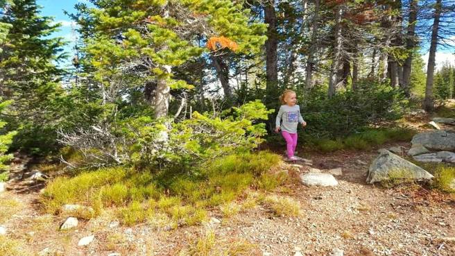
Antelope Island Buffalo Point Trail
Little Mountaineers Rating: Easy Moderate (.8 mile round trip with uphill climb to top, rocks to climb and explore on top)
Antelope Island is one of my favorite places to hike in the area. The landscape is very unique and different than your typical mountain hike. Buffalo Point is a short hike that takes you up to a point with a lovely view and a great place to watch the sunset. There are many rocks to further climb and explore at the top. This is uphill to the point but nothing too steep or challenging, my 3 year old now hikes it on her own.
*Antelope Island has a “biting gnat” season that usually goes from April-June (call ahead for status), these are pesky little buggers so go early Spring or Fall for the most enjoyable time!
Antelope Island Ladyfinger Point Trail
Little Mountaineers Rating: Easy (.5 mile round trip, rocky areas and drop offs)
This trail is a great place to watch the sunset and let your kids climb rocks and explore. This is my favorite place to take the kiddos when they just want to play and not do much hiking. This trail is super short and you already have a great view along with many rocks to explore.
*Antelope Island has a “biting gnat” season that usually goes from April-June (call ahead for status), these are pesky little buggers so go early Spring or Fall for the most enjoyable time!
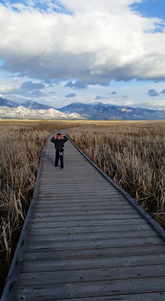
Antelope Island Lakeside Trail
Little Mountaineers Rating: Moderate (5.6 miles round trip, mostly mild elevation gain, some rocky areas, rated moderate for distance)
This trail is the longest trail on the list, but don’t let that scare you. This trail is mostly mild and has stunning views of the Great Salt Lake. There are many areas with fun rocks to explore and this one will be great for the kiddos. This hike doesn’t have anything waiting for you at the end, the whole trail is scenic, so if you only do part of the trail you will still be able to experience the unique beauty of this trail. You can start this trail from either end, there is parking and trail head signs at both ends.
*Antelope Island has a “biting gnat” season that usually goes from April-June (call ahead for status), these are pesky little buggers so go early Spring or Fall for the most enjoyable time!
Fernwood Trail Segment of Bonneville Shoreline Trail
Little Mountaineers Rating: Easy Moderate (1.8 miles one way to Adams Canyon Trailhead, some elevation climb)
This trail is literally just a few minutes from our house so it’s a quick easy trip for those days we need some mountain therapy but don’t have much time. We usually just walk along the trail for as long as we feel like it, usually 1-2 miles round trip, not usually the whole segment. There are a couple stream crossings depending on how far you go. This is another trail with little shade but great sunset views.
Davis Creek
Little Mountaineers Rating: Moderate Hard (around 3 miles round trip depending on your route, steep areas, drop offs, rocky and steep decent, trail not always clear so map and good knowledge of trail recommended)
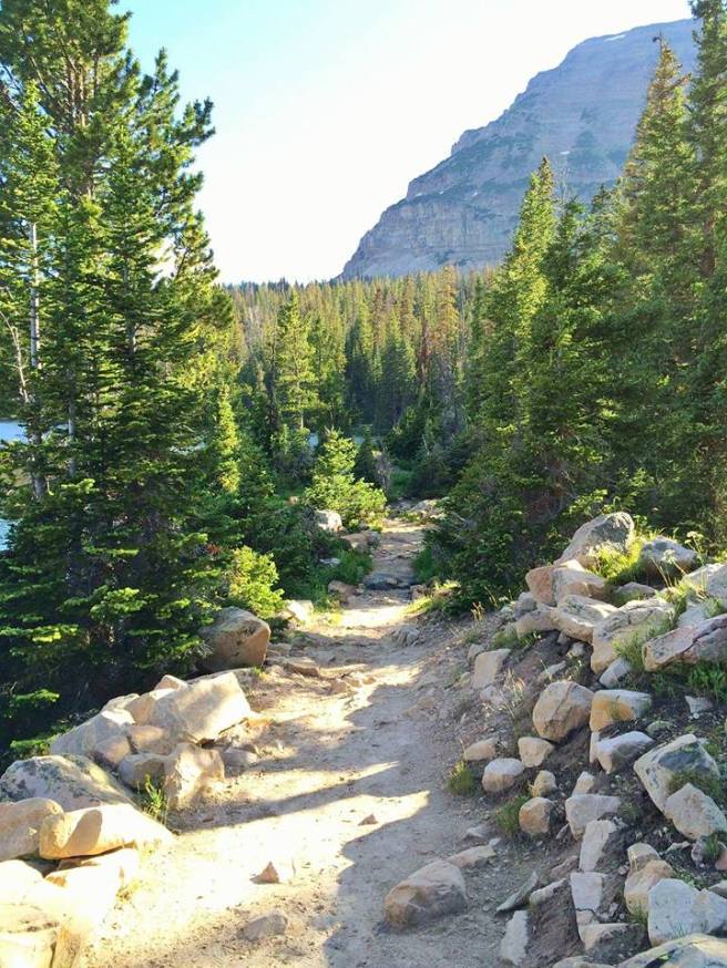
This is a unique trail in the Davis County area and has some very steep, exposed areas. There are also other trails in the area that connect and cross with this trail so you want to research your route thoroughly before you go. You’ll find multiple waterfalls, “Indian bathtubs”, pine forests (“Christmas Tree Lane” and the “El Capitan” rock, etc.
When I researched this trail I noticed that many people stop at the area with the Indian Bathtubs and 1st waterfall. The trail up to this point is pretty easy to follow and the Indian Bathtubs and waterfall are a great place to turn around if you are looking for something shorter and not as strenuous. I would recommend stopping here if you have not researched and mapped out the rest of the trail, since there are other trails that cross here you could get turned around if you are not familiar with the surroundings. If you are up for a challenge and do your research, I like to hike from the Indian bathtubs and do a loop to Pretty Valley then to Hell Hole up to another waterfall and through “Christmas Tree Lane” and a steep decent back to where you started. Whew definitely a workout with a 35lb toddler on your back and not much shade.
Patsy’s Mine
Little Mountaineers Rating: Moderate Hard (2.1 miles round trip to caves including some cave exploration, steep climb with rocky areas and drop offs, no shade)
So when we hiked this trail we parked down in a cul-de-sac and hiked up to the dirt road where you will find a trail head. There is a dirt road that takes you up to that point, but it was in very poor condition when we went and we didn’t want to risk driving on it.
This trail is basically a nice steep climb up, so be prepared for a burner. There is no shade and the path is steep with drop offs. It can also be difficult with loose rocks and dirt. My 6 year old did fine on his own, but I carried my 3 year old the whole way until we reached the caves.
We explored the caves until we got to a part where it branched off into different trails and started to get really wet. The kids thought it was super cool to explore. It felt nice to cool off from the hike. Bring flashlights! We headed back and finished the hike while enjoying the beautiful sunset.
Farmington Lakes Trail
Little Mountaineers Rating: Easy (less than 1 mile/unsure, trail can be wet and muddy)
So we’ve been exploring this little trail with our kiddos for years but I really have no information about it. I can’t seem to find a trail name or description anywhere. It does seem that the ponds are called “Farmington Lakes” so I’ve decided to name the trail that. When you are driving up Farmington Canyon and over to Bountiful peak you’ll pass a camping/picnic area on the Bountiful side and then you should see these ponds on the side of the road shortly after that. If you pull over and park you will find there is a little trail here. We’ve never gone too far, it usually gets too wet and muddy, but it is a fun little area to explore and we even bring our hammocks here sometimes to relax. One of our favorite ways to escape the summer heat is to head up to higher elevation and this is one of our favorite little spots. Let me know if you have any more information about this trail, I’d love to learn more about it.
Here is a link to the google map coordinates for Farmington Lakes.
Adams Canyon
Little Mountaineers Rating: Moderate Hard (3.6 miles round trip, starts out with switchbacks, steep strenuous climb up canyon, some rocky areas and drop offs)
This is a very popular trail in Davis County, but probably isn’t my first pick for beginner hikers or hiking with toddlers. I hike this with my daughter on my back when I want a good work out! The first part of the hike is up about 11 switchbacks (worst part in my opinion ha ha) As you hike this trail into the canyon you will quickly see why it is so popular, it truly is very beautiful. Hiking along the creek, through the pines, and passing waterfalls and interesting rock formations you will end and the stunning waterfall. Avoid weekends and holidays if you don’t like crowds, but since it is popular you will most likely see a good amount of people on the trail.
Wildrose Trail
Little Mountaineers Rating: Easy Moderate (2 mile round trip to sunset view point, some some steep areas and drop offs, moderate climb to top)
This is a good after school or after work sunset hike. It’s a mile up to the sunset view point and although you are climbing up, it isn’t too steep or difficult. It is mostly exposed with a little shaded area. There are beautiful views of the valley and city below and the lake off in the distance. This trail also connects with other trails (so watch for signs) and can be hiked as a out an back (starting and going back the same route) or as a loop and hiking back down a different way.
I hope you’ve enjoyed learning about some of the trails around our home! I can’t wait to post even more. Hopefully you’ll be able to try out a new trail or two in the Davis County area! Happy Hiking!